
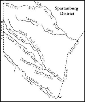
District 96, South Carolina
- Profile
- Images
Date:
29 Jul 1769
to
31 Dec 1799
Location: [unknown]
Location: [unknown]
This page has been accessed 4,862 times.
| ... ... ... is a part of South Carolina history. Join: South Carolina Project Discuss: South Carolina |

Biography
Ninety-Six District was created on 29 July 1769 as the most western of the seven original districts. Its boundaries included the current Abbeville, McCormick, Edgefield, Saluda, Greenwood, Laurens, Union, and Spartanburg counties; much of Cherokee and Newberry counties; and small parts of Aiken and Greenville Counties. The lands further west were Cherokee Indian lands; and Tryon County, North Carolina infringed on much of its northern boundaries through the 1770s due to poor surveying.
The judicial capital town was Ninety Six, South Carolina; located at 34°10′24″N 82°1′18″W
Read about District 96 in the Revolutionary War
CHAOS IN THE BACKCOUNTRY: BATTLE OF NINETY SIX
1775-84 MAP

|
| District 96 |
1885 Map

|
| Districts 1785. |
1786-89 Map District 96

|
| 1786-89 Dist.96 |
Sources
- Wikipedia District 96
- South Carolina Jury Lists for the Ninety-Six Judicial District - 1779
- 1779 Census of District 96, SC
- Names of First Colonist in SC
- Gentry Journal contains history of District 96
- Slavery on the Move"'
- "Stephen Jackson of Anson Co., North Carolina and Early Craven Co., Cheraw District and Chesterfield Co., South Carolina" by Bob Mitchell, Janie Jackson Kimble
Images: 8


Collaboration
- Login to edit this profile and add images.
- Private Messages: Send a private message to the Profile Manager. (Best when privacy is an issue.)
- Public Comments: Login to post. (Best for messages specifically directed to those editing this profile. Limit 20 per day.)
Comments
Leave a message for others who see this profile.
There are no comments yet.
Login to post a comment.