

)
Photo Details
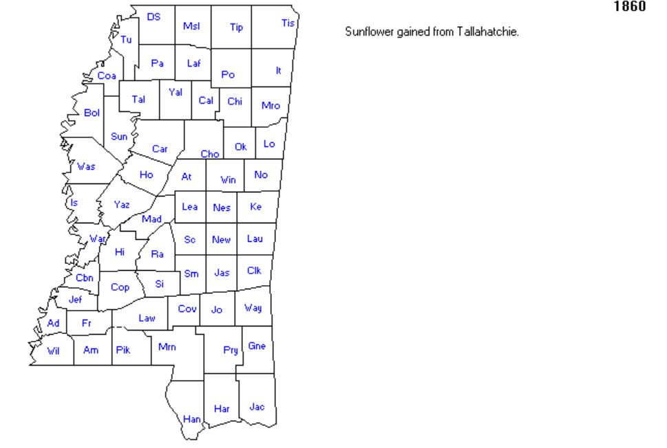
Title: Mississippi Map in 1860
In this image:
Where: Mississippi, United States
When: 1860
Uploaded: 16 Aug 2018 by Ginger (Harms) Ratzlaff
Comments: 2 • WikiTree Popularity: 1
Original digital image: 969 x 652 pixels Image dated 2018:08:15 15:26:18
This image is open for viewing but you need to be logged in to edit the details. Please login here.
Comments on Maps of Places the Jenkins Family Lived-1.jpg: 2
Login to post a comment.
This map shows two locations where Louis Jenkins (Jenkins-11480) and his family lived. In 1850 they made their home in Newton County, Mississippi. That county is located close to the center of the state. The name is abbreviated "New" and it is five counties from the southern border and two counties from the eastern border. By 1860 the Jenkins family lived in Perry County,Mississippi, according to the 1860 United States Census. Perry county is abbreviated "Pry" and is located as the second county from the southern border and the eastern border of Mississippi.
"Interactive Map of Mississippi County Formation History," www.mapofus.org/mississippi/
Disclaimer: All United States maps are free to use for your own genealogical purposes and may not be reproduced for resale or distribution.Source: David Rumsey Historical Map Collection