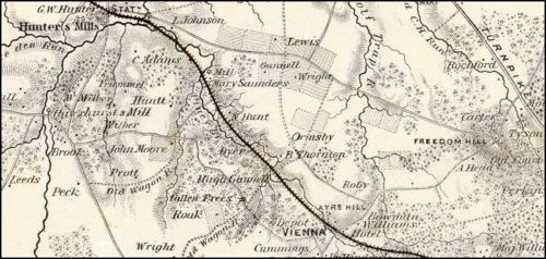
In this image:
Where:
Fairfax County, Virginia ![]()
When: 1862.
Uploaded: 7 Jan 2018 by Daniel Ange.
Comments: 2, WikiTree Popularity: 1.
Original digital image: 731 x 348 pixels.
Do you love this photo? Maybe it's just interesting, or there's a story behind it? Please share it with the WikiTree community.

This image is open for viewing but you need to be logged in to edit the details. Please login here.

https://www.flickr.com/photos/fccpa-va/16801632551/in/album-72157650917156070/
U.S. War Department, Topographical Engineers, 1862
Digital Image found online at http://www.davidrumsey.com/maps4020.html
Digital images and descriptive data © 2000 by Cartography Associates. Images may be reproduced or transmitted, but not for commercial use. This work is licensed under a Creative Commons License.