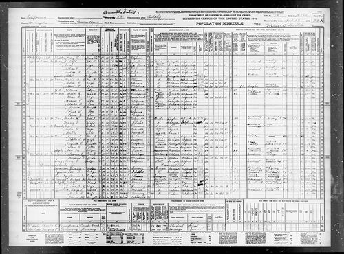
In this image:
Where:
Los Angeles, Los Angeles, California, United States ![]()
When: 27 Apr 1940.
Uploaded: 4 May 2022 by Ivy (Masters) Hernandez.
Comments: 1, WikiTree Popularity: 1.
Original digital image: 6062 x 4485 pixels.
Do you love this photo? Maybe it's just interesting, or there's a story behind it? Please share it with the WikiTree community.

This image is open for viewing but you need to be logged in to edit the details. Please login here.
Comments: 1
There are no comments yet.
Login to post a comment.
 Ivy (Masters) Hernandez
 Ivy (Masters) Hernandez
"United States Census, 1940," database with images, FamilySearch (https://familysearch.org/ark:/61903/3:1:3QS7-89MT-X3M3?cc=2000219&wc=QZX5-Q9X%3A790105301%2C796133301%2C799014501%2C952742501 : accessed 4 May 2022), California > Los Angeles > San Antonio Judicial Township > 19-865 San Antonio Judicial Township (Tract 506 - part) outside Bell and South Gate Cities bounded by (N) Bell City Limits, Gage Av; (E) Los Angeles River; (S) South Gate City Limits; (W) Atlantic Av; also Cudahy (part) > image 57 of 76; citing Sixteenth Census of the United States, 1940, NARA digital publication T627. Records of the Bureau of the Census, 1790 - 2007, RG 29. Washington, D.C.: National Archives and Records Administration, 2012.
posted
by Ivy (Masters) Hernandez
